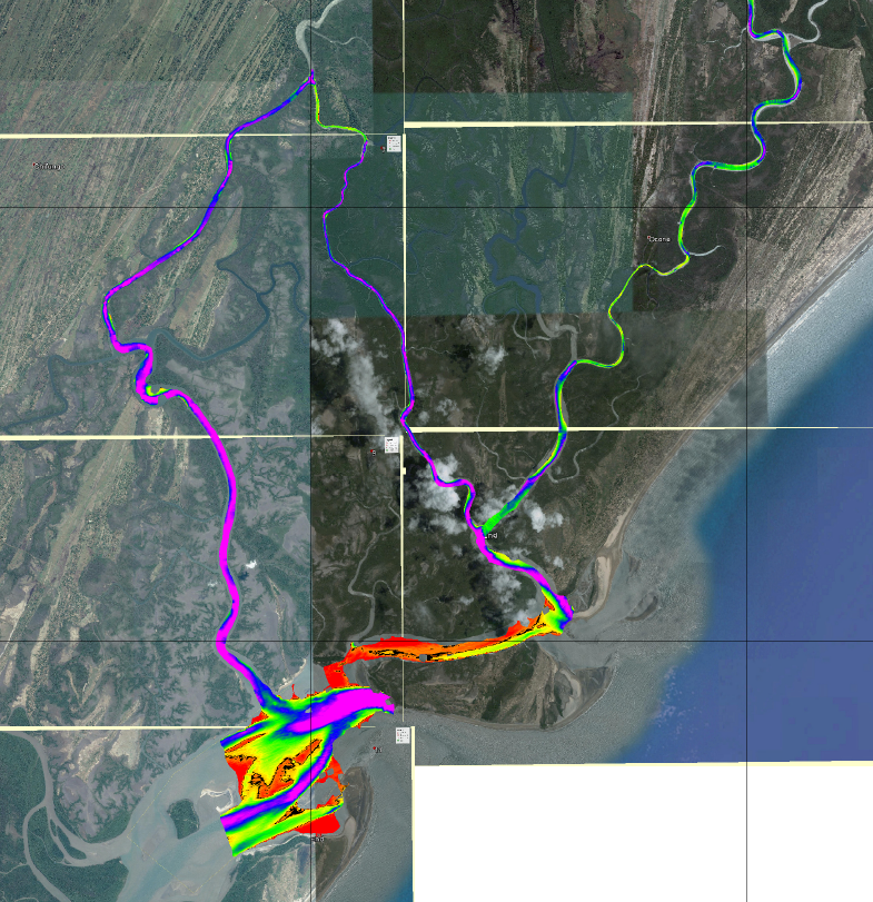
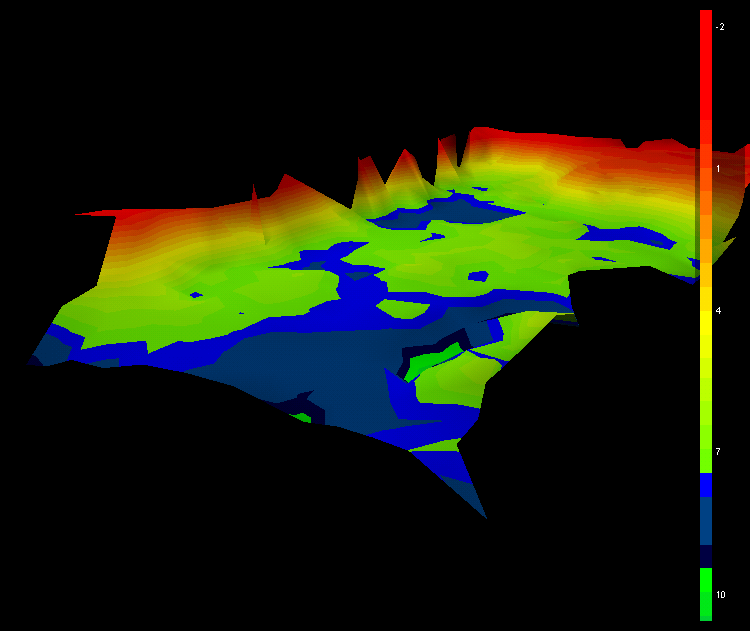
Bathymetric Surveys
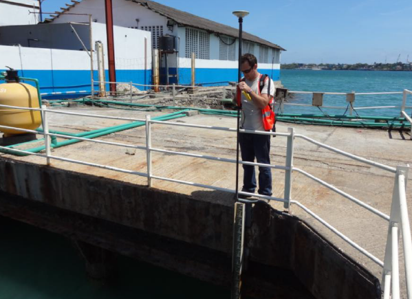
Having built and run a full bathymetric system with our African logistic partners since the beginning of 2013, new for 2016 is our UK based bathymetric survey vessel.
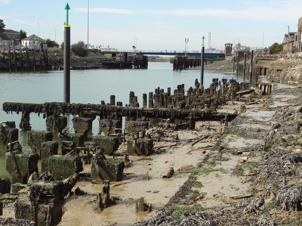
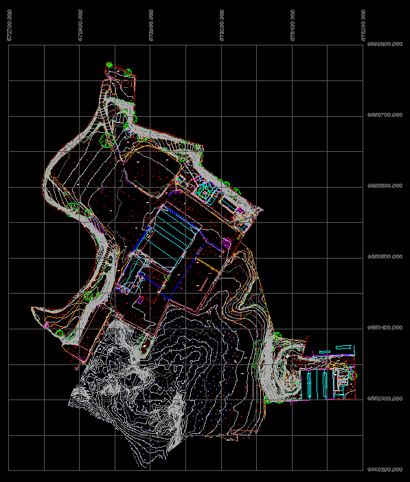
Designed specifically for near or inshore use and suitable for use close to structures and possible underwater obstructions. It can be launched practically anywhere. The system maybe small but it is well formed offering both single beam and high resolution side scan data with added extra of RTK GPS for high accuracy geo location and fundamentally integration into our land based topographical data.